
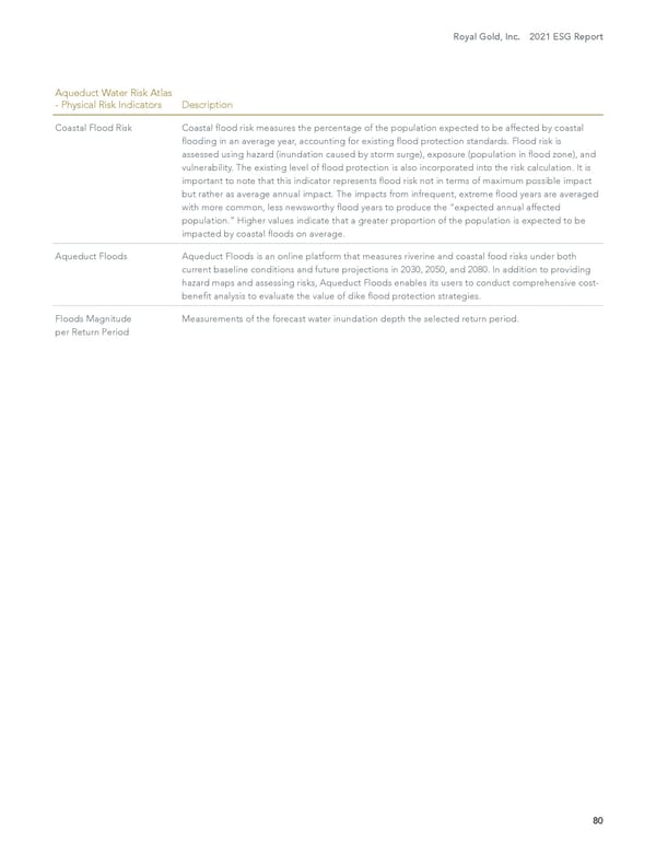
Royal Gold, Inc. 2021 ESG Report 80 Aqueduct Water Risk Atlas - Physical Risk Indicators Description Coastal Flood Risk Coastal flood risk measures the percentage of the population expected to be affected by coastal flooding in an average year, accounting for existing flood protection standards. Flood risk is assessed using hazard (inundation caused by storm surge), exposure (population in flood zone), and vulnerability. The existing level of flood protection is also incorporated into the risk calculation. It is important to note that this indicator represents flood risk not in terms of maximum possible impact but rather as average annual impact. The impacts from infrequent, extreme flood years are averaged with more common, less newsworthy flood years to produce the “expected annual affected population.” Higher values indicate that a greater proportion of the population is expected to be impacted by coastal floods on average. Aqueduct Floods Aqueduct Floods is an online platform that measures riverine and coastal food risks under both current baseline conditions and future projections in 2030, 2050, and 2080. In addition to providing hazard maps and assessing risks, Aqueduct Floods enables its users to conduct comprehensive cost- benefit analysis to evaluate the value of dike flood protection strategies. Floods Magnitude per Return Period Measurements of the forecast water inundation depth the selected return period.
 2021 Environment, Social and Governance Report Page 80 Page 82